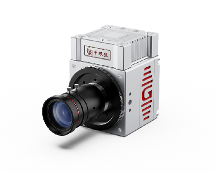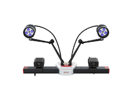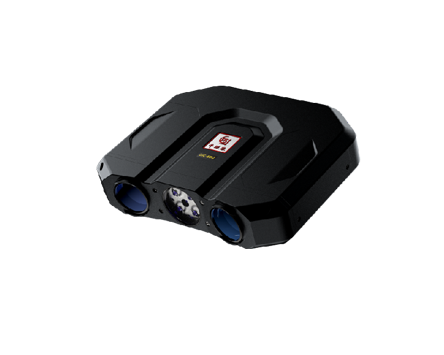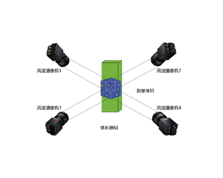
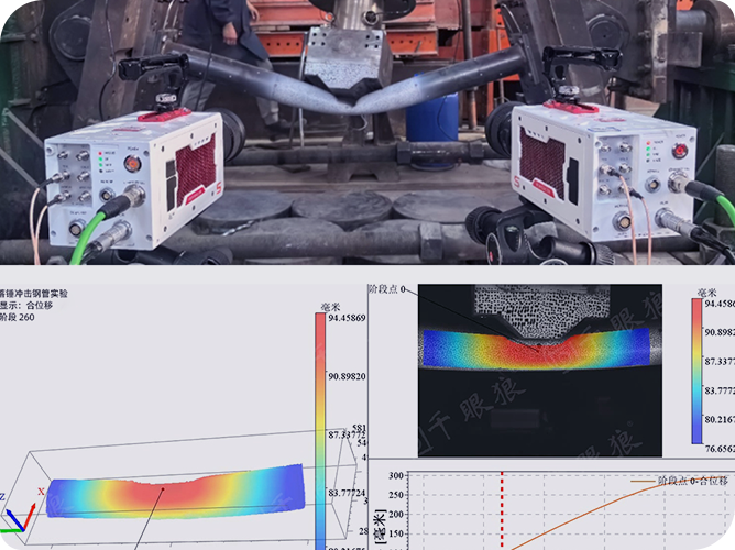
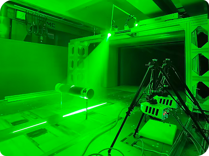
On April 20, the first International Academic Forum on Geological Hazards and Air Defense during the Life Cycle of Reservoirs (2025) was successfully concluded in Yichang, Hubei. The conference focused on key issues such as reservoir geological hazard risk assessment, monitoring and early warning. Revealer Scientific Instruments was invited to attend the conference with its independently developed high-speed cameras, digital image correlation (DIC) strain measurement system, and particle image velocimetry (PIV) flow field measurement system. The conference demonstrated the typical applications of Revealer's three major scientific instrument products in debris flow simulation, slope landslide monitoring, rock mechanics experiments and crack evolution characterization, earthquake simulation and other subdivided research fields.

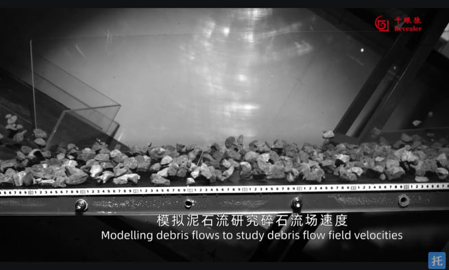
The movement mechanism of debris flow involves complex solid-liquid two-phase flow coupling, and its flow velocity, shear force, etc. are crucial to disaster assessment.
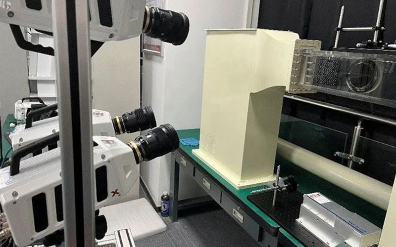
The use of high-speed cameras can capture every detail of the debris flow movement process at a full-frame 10,000-frame rate, from the flow to the accumulation of debris flow, record its flow state changes, flow velocity, flow rate and other key parameters, observe the flow around obstacles when the debris flow encounters obstacles, and provide image data support for disaster assessment.
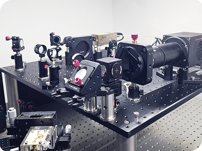
The particle image velocimetry (PIV) flow field measurement system accurately captures the flow field distribution and turbulent structure in the debris flow by tracking the movement trajectory of missing particles, and verifies the accuracy of the debris flow impact force prediction in combination with numerical models.
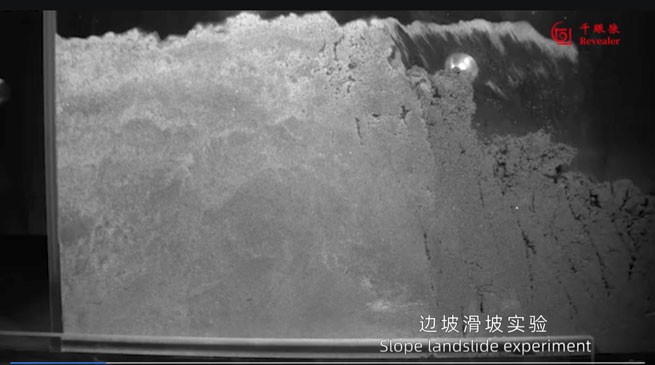
Slope landslides are usually accompanied by progressive deformation phenomena such as cracks and subsidence caused by external factors such as rainfall, earthquakes, and human activities, as well as sudden sliding after deformation to a certain extent.
The use of high-speed cameras can monitor the deformation and destruction process of slopes under different loads, capture the tiny cracks on the slope surface, the displacement of rock and soil bodies, and the formation and development of sliding surfaces, providing strong support for the evaluation of slope stability and the formulation of reinforcement measures.
The digital image correlation (DIC) strain measurement system uses non-contact full-field strain analysis to monitor the strain field of the slope model in real time under rainfall or water level rise and fall conditions, and locate potential landslide surfaces.
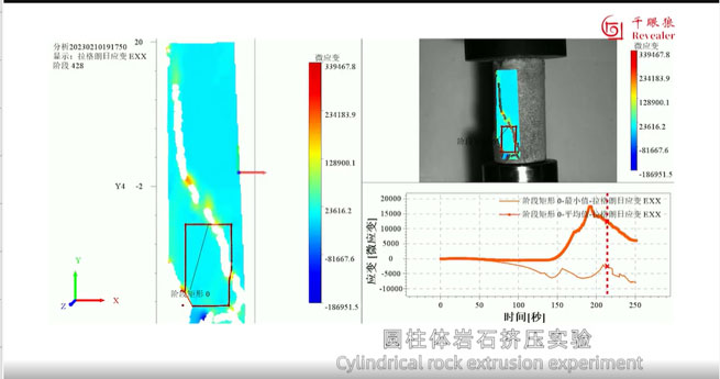
The fracture behavior of rocks under complex stress is the research focus of geological disaster prevention and control.
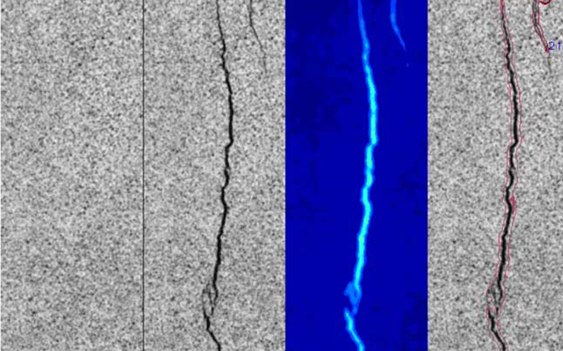
The DIC strain measurement system, with an ultra-high-speed camera, uses the digital image correlation algorithm to clearly display the strain changes of rocks in the elastic deformation stage, yield stage, and failure stage through the speckle pattern marked on the rock surface. Record the generation sequence of cracks and the crack propagation path during the fracturing process.
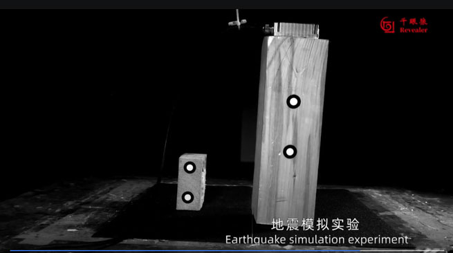
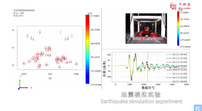
Seismic loads can easily trigger chain disasters such as building collapse and landslides, and their dynamic responses need to be studied through physical simulation.
High-speed cameras can be combined with DIC technology to capture the dynamic displacement and projection trajectory of objects caused by the propagation of earthquake waves simulated by the shaking table. The inclination angle, movement speed, and acceleration of the simulated object are calculated to provide experimental basis for the earthquake-resistant design of the building.
From the deformation and failure mechanism of rock and soil to the simulation of chain disasters, high-speed cameras, DIC strain measurement systems, and PIV flow field measurement systems have become indispensable scientific instruments in the field of geological disaster prevention and control due to their advantages of high temporal and spatial resolution and non-contact measurement. They will surely play an important technical support role in responding to geological disasters throughout the life of reservoirs, protecting the ecological environment, and ensuring the safety of people's lives and property.
